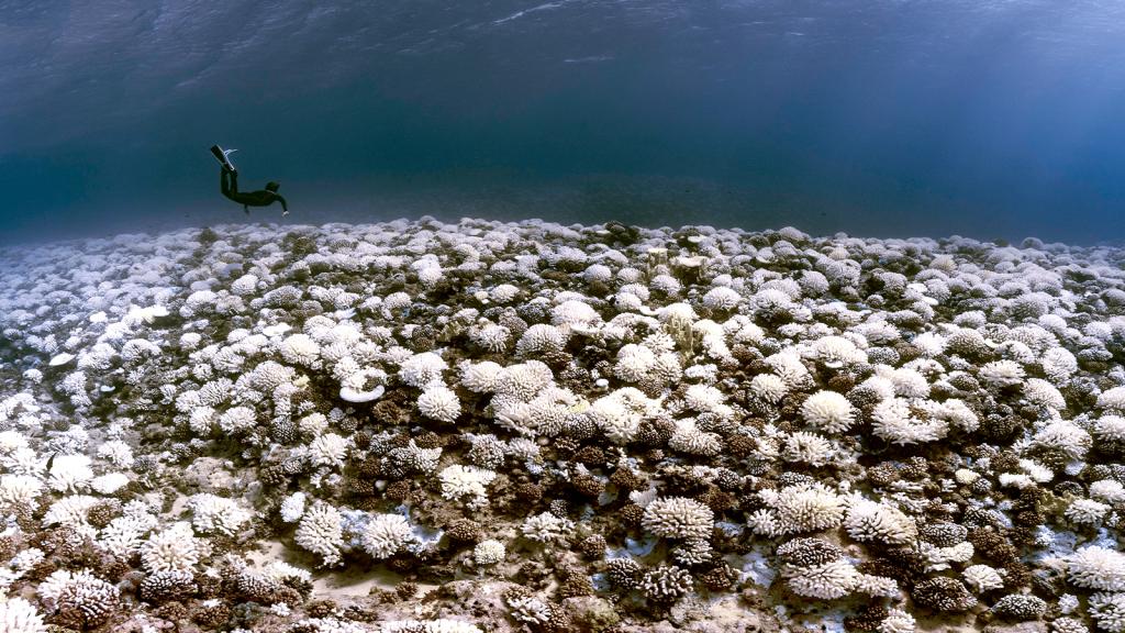

The new edition of the Times Comprehensive Atlas of the World includes an island that's only existed since 2006. Uunartoq Qeqertaq — "Warming Island" — surfaced when the Greenland ice cover retreated because of global warming. It's only one of the climate change side effects that have now been deemed permanent enough for inclusion in the atlas.
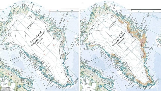
Greenland looks markedly different overall, since the atlas now reflects its depleted ice cover (the ice has retreated 116,000 square miles since the 1999 edition, shown on the left). The Aral Sea has also been getting smaller in every reprint — that's the 1967 edition on the left — though it's rebounded a little due to water-redirecting efforts from Kazakhstan. And the atlas now includes several rivers that are have been reclassified as "intermittent," because they now dry up every summer.

The editors doubt that the climate-related revisions are going to end with this edition. Already, more islands are starting to appear.
"With each new map we can see and plot environmental changes as they happen," said atlas editor Jethro Lennox. "We are increasingly concerned that important geographical features will disappear for ever."
Greenland, Lennox says, could "reach a tipping point" in the next 30 years.
UPDATE: Looks like this atlas is full of it. That's not a reason to stop worrying about Greenland's ice cover — but it definitely has not lost 15 percent, as advertised in the atlas.