Photo: Scott PenaCross-posted from Cool Green Science.
Let’s say the rise in sea level that climate change will bring us — from melting ice caps and expanding seas — won’t be “all that bad” by, oh, the year 2080. Maybe … just half a meter (a little under 20 inches). We can deal with half a meter, right?
Well, yeah — if we’re ready to “deal with” almost 50 percent more affected people and 73 percent more property losses from a typical Category 3 hurricane — all because of the higher storm surge that’ll come from that additional 20 inches of sea level. (“Storm surge,” in case you don’t know, describes the ocean water that a storm’s winds bring ashore, in addition to what’s usually there with normal tides.)
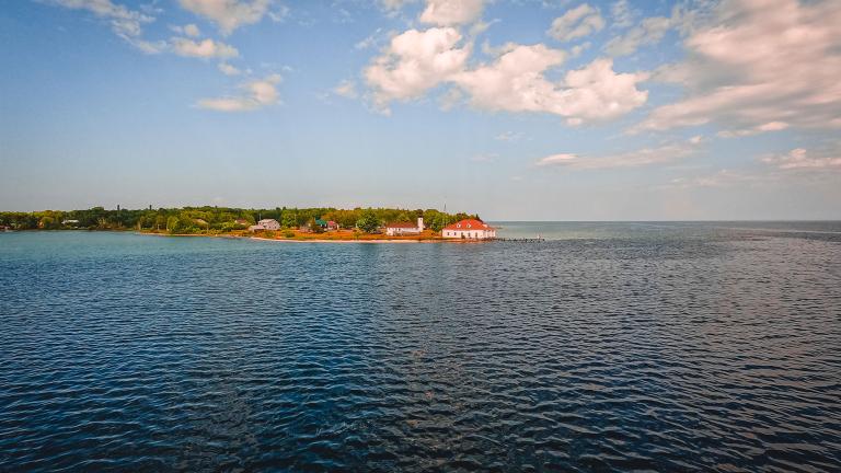
Those kinds of losses are the scenario the southern shores of Long Island, N.Y., are looking at, according to a new peer-reviewed study in the journal Natural Hazards. And it’s a scenario that could apply to lots of other U.S. coastlines, says Christine Shepard, the study’s lead author and a postdoctoral fellow with the Nature Conservancy’s Global Marine Team.
Unfortunately, she adds, sea-level rise hasn’t been on the radar of most U.S. coastal planners until recently. So is there any good news? Yes, says Shepard: The study offers a set of approaches and accessible tools with which those coastal planners can start mapping their own communities’ vulnerabilities. (Are you listening, Islip, N.Y.?) I caught up with Shepard to find out more.,
Christine Shepard.Q. Why did you choose to study sea-level rise and storm surges along the southern shores of Long Island? How typical are these places of other U.S. coastlines?
A. First, it’s a very densely populated area, so the modeling gives us a good look at how damaging storm surge can be to such an area. We also have access to some very good elevation data on the area. And there’s also a history of storm surges here — they had an intense Category 3 storm in 1938. All that made it a good area to test the development of our methods.
But while Suffolk County is one of the most populous counties in the United States, the results that we found are comparable to other studies that evaluated the effect of sea-level rise on storm surge in less densely populated areas. So we can definitely extrapolate these results to other U.S. metropolitan areas or coastal cities.
Q. We’re talking about 20 inches of sea-level rise. (The height of an English Springer Spaniel, if that helps anyone visualize it.) Just how damaging could 20 inches be?
A. Just a small amount of sea-level rise increases the damage — especially in areas with intense development and a high concentration of people and properties stretching from the coast inland, like the area of Long Island that we studied. Also, the damage per property increases with the depth of the water. Even just a slightly higher storm surge gives you more damage per property — you can really see these impacts at the town level.
Q. Besides having high concentrations of people and development, what else makes a coastal community especially vulnerable to storm surge? In your study, the town of Islip (which has a population of almost 325,000) already has a lot of risk today, and 0.5 meters of sea-level rise is going to accentuate that quite a bit.
A. Two variables: socioeconomic considerations, and critical infrastructure and facilities.
Some of the common socioeconomic characteristics of communities that are more likely to have disproportionate impacts from coastal hazards include having 1) areas with high population density and housing unit density, 2) areas with a lot of poverty, or 3) areas with a lot of households that lack access to vehicles they could use to evacuate.
Part of the point of this study was to create maps that communities can use to develop targeted approaches to hazard mitigation. We created a social vulnerability index to help map these communities so that hazard mitigation policies or grants could be targeted towards communities that are socially vulnerable, to reduce their risk. And for critical facilities and infrastructure, just to have easily accessible maps of where these are with respect to present and future storm surge risk is very valuable for community planning.
It’s also valuable for conservation. I’ve been working on maps that prioritize marsh restoration projects adjacent to population centers and vulnerable communities. These marshes may help mitigate storm impacts, so that kind of planning could be a win-win for coastal communities and conservation.
Q. The 0.5-meter sea-level rise estimate by 2080 you used — that’s a pretty conservative estimate, isn’t it, given some of the modeling that’s now out there?
A. I would say it is pretty conservative, so you could conclude that the results from this paper are conservative. And our estimates of damage are also conservative because our analysis only incorporates losses due to flooding, not wind.
Q. Why haven’t coastal agencies and towns in the United States taken sea-level rise into account when they’ve thought about managing storm surges?
A. First, FEMA didn’t really acknowledge sea-level rise and the impacts on storm surge until the last couple of years. There’s been a cultural dichotomy between the people who analyze the impacts of sea-level rise versus those who plan for hurricanes and storm surges.
But most municipalities aren’t currently planning for increases in inland extent of storm surge. Their proposed maps for a variety of strengths of hurricanes assume present conditions and don’t incorporate sea-level rise. The same goes for flood maps.
Q. The study gives communities a methodology for getting prepared. What do they need to do to tap into it?
A. It’s never been easier for them to do their own planning for storm surge and sea-level rise. The tools that we incorporate into our approach are readily available, and the organizations or government agencies that provide them provide training for them. And we tried to pull from those processes and tools that someone with an intermediate level of GIS [geographic information systems] expertise — someone who would be a typical GIS analyst for a county or a city — could use with training offered by some of the agencies that provide the tools, such as FEMA and NOAA.
Q. 2080 is an awfully long time off. Is there anything in this report that should set off alarm bells for ordinary people, either for right now or 10 to 20 years down the road? Should they be buying property in places vulnerable to these kinds of storm surges?
A. If they’re thinking about purchasing coastal property, they definitely need to consider that current flood zone maps do not reflect any sea-level rise. Those maps may soon be obsolete.